
What is a doline? This is how the circular lagoons of Ballesteros were formed
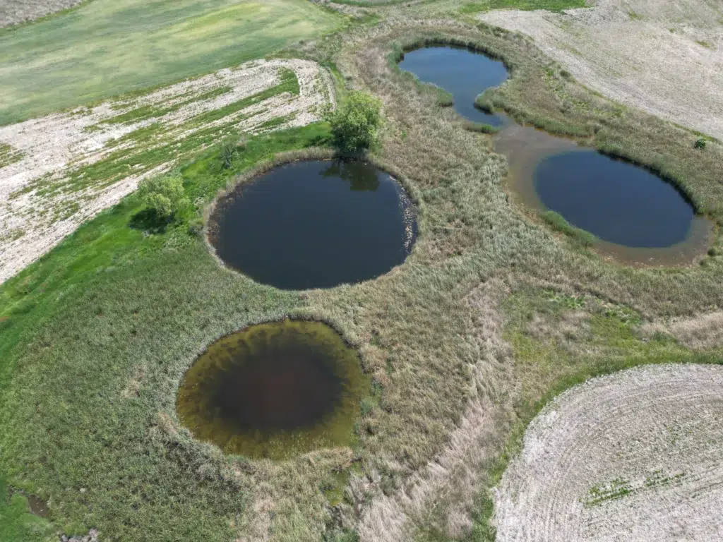
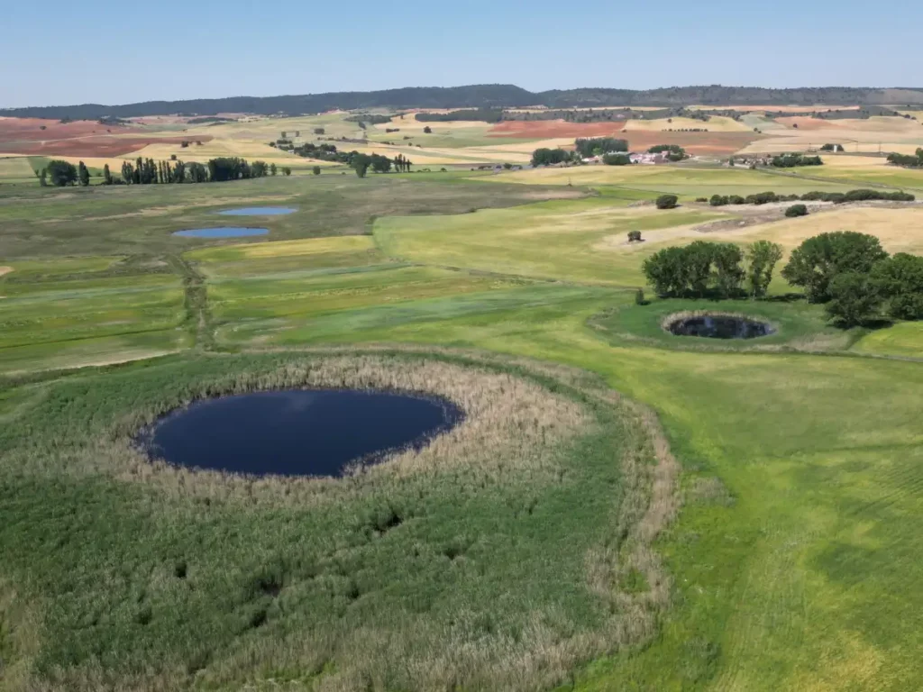
Views from the air, many of them Ballesteros Lagoons They appear to be circles drawn on the plain. Their edges do not follow the course of a river or correspond to a human work. They are dolines: Natural depressions in the ground that form when water slowly dissolves the rocks in the subsoil.
How a doline is formed
The subsoil of Ballesteros contains limestone, a soluble rock. Rainwater seeps through cracks and dissolves that material. Over time, the voids increase in size and the soil loses stability.
The surface can subside gradually or subside more suddenly when the roof of a cavity collapses. In the latter case, a depression of more abrupt walls appears, commonly known as a trough. When several valleys grow to join together, they can form larger, irregular depressions called uvalas.
This process is known as karstification. Although it is usually associated with limestone rock landscapes, it can also occur on clay layers, as in Ballesteros. The result is a very unusual karst relief, formed by circular depressions that can accumulate water.
Why some dolines have water and others dry up
The existence of a doline does not mean that it must contain water all year round. The deepest depressions can reach the level of the aquifer and maintain a permanent or semi-permanent lagoon. The shallower ones depend more on rainfall, runoff, and seasonal fluctuations in groundwater levels.
That is why some lagoons flood and dry up following a natural cycle. Not all of them have the same depth or remain covered with water for the same length of time. This variety explains a good part of the mosaic of environments that is concentrated in Ballesteros and allows plant and animal communities with very different needs to coexist.
The 2026 drill confirms that the karst is still active
The landscape of Ballesteros is not the result of a finished process. The most recent landslide was documented in 2026, which shows that the dissolution of the plaster and the subsidence of the ground continue to transform the lagoon complex.
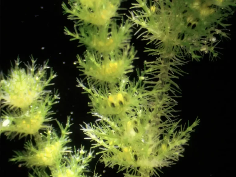
The geological origin of the lagoons also influences the composition of their waters. The dissolution of the gypsum provides sulfates and calcium, which, together with the magnesium present in the medium, give rise to waters of a sulfate-calcareous-magnesium type. This chemistry conditions the aquatic vegetation and favors the presence of communities adapted to conditions that are rare.
More than thirty lagoons linked to a single aquifer
The complex consists of more than thirty lagoons and depressions. According to the project documentation, 15 of its dolines retain water permanently or semi-permanently, while the remaining ones are flooded mainly during the wet periods.
Although on the surface they may appear to be separate basins, their operation depends on the same aquifer and on the movements of groundwater. Drainage, land transformation and water extraction can affect the whole system, even when they occur far from a specific lagoon.
That's why LIFE Lagunas de Ballesteros It does not propose restoring isolated basins. The project works to remove drainage channels, reduce aquifer extraction, and restore the natural functioning of the system. In Ballesteros, what we see on the surface always starts a little deeper down.


 Spanish
 English
 French
 German
 Italian
 Portuguese